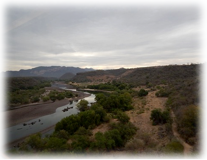
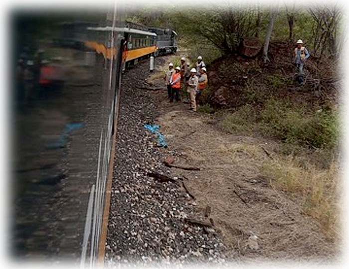
Friday morning, April 27th, just after 5AM, they loaded us all into 3 buses for a long 2 hours to the Ferrocarril Chihuahua al Pacífico railway station in El Fuerte and then a six hour train ride on El Chepe following the Septentrion River upstream, part of the amazing Copper Canyon.
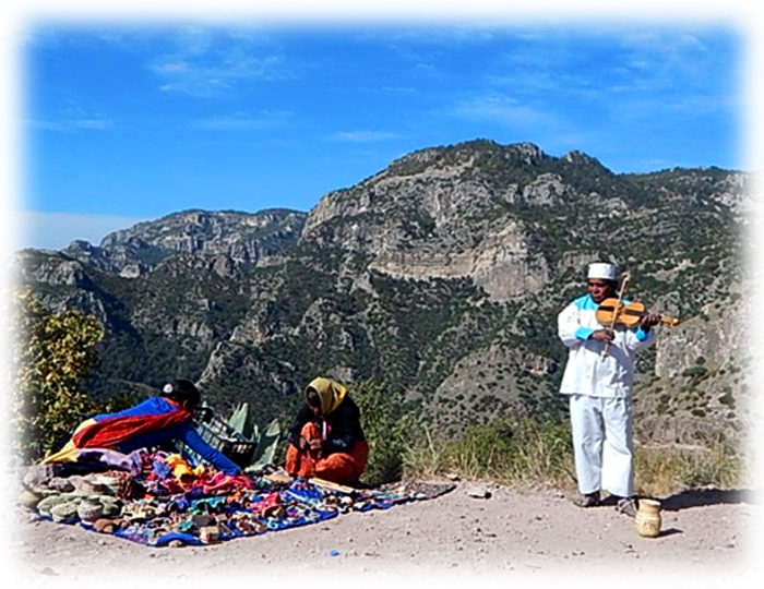
Baskets for Sale.
Climbing...
We rode a puzzle system of bridges and tunnels on a railroad that was 90 years in the building. We would twist through a dark tunnel and then magically emerge into a different landscape. Again and again: arid desert deep gullies, the riverbed almost dry; then the canyon walls abruptly verdant with twirling-leafed bright small trees; later, tall (really tall, 10 feet?) thin canary yellow blossom masses crowned by what appeared to be cactus, pools and rivulets reflecting jade in the climbing riverbed; a pencil thin waterfall plunging (trickling?) maybe 2 thousand feet; chugging from dark to light into minty green light filtered through gigantic pines with long delicate thread needles; higher and higher through apple orchards, snowy with blossoms. At 2PM, almost a hundred strong, we spilled out for a late lunch on the canyon’s rim.
Arrival.
To the Canyon.
Halfway to the Stars
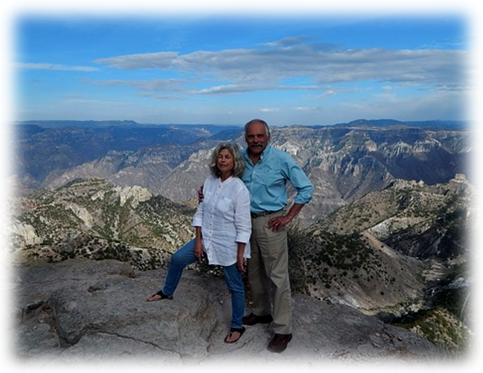
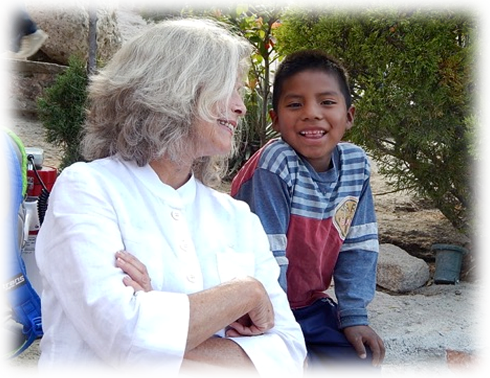
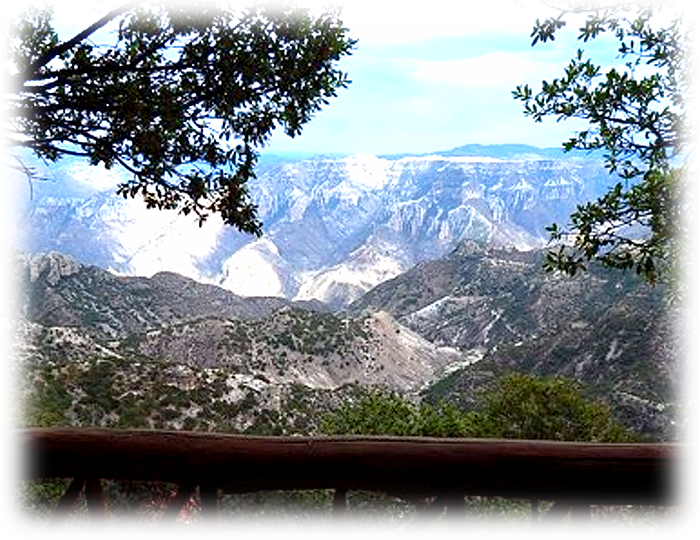
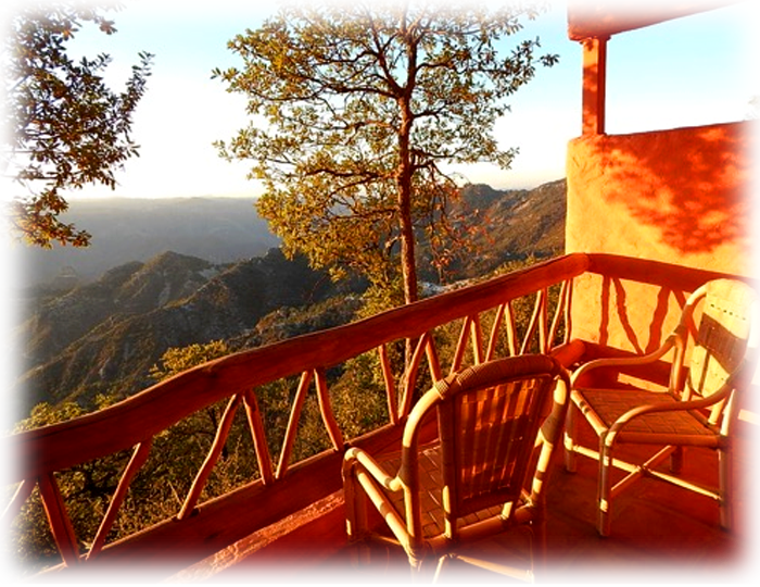
Saturday morning: whippoorwill to rooster, we rose to watch the sunrise. When the day brightened a small bird with a bright red chest and white-stripped wings teased (& evaded) Rick’s camera. We took a cable car across the canyon & emerged to Tarahumara family clusters, friendly dogs, a man playing a fiddle. The vastness, the scent of sage, the crystal air, music playing out over the magnificent vistas—all so impossible to translate by word or picture.
I would like to return, maybe shortly after the rainy season, to see the six rivers running full, the water falls really falling. How amazing it is that there are only 3 hotels along the canyon and likely not to be more. All of this splendor is owned by the Tarahumara who don’t want more buildings, don’t want a hospital, a shopping center… They want their language, land and customs to remain the same. The Tarahumara live high in the canyon in the summer and descend to the lower levels in winter, when the heights are cold and sometimes see snow.
Canyon (how do you photograph 25,000 square miles?)
Rick's fun facts
The Copper Canyon region covers 25,000 square miles in Mexico’s Sierra Madre Mountains. It was formed relatively recently as the ancient Farallon oceanic tectonic plate slid under the North American plate and pushed it upward. Six rivers in the resulting elevated region in northwestern Mexico gradually eroded the upthrust igneous rocks and formed the branched canyon area. The total length of those rivers today is 335 miles, compared to the 277 miles of the Colorado River in the US’ Grand Canyon, and the Copper Canyon’s maximum depth is 6135 feet, compared to the Grand Canyon’s 4855 feet. The Grand Canyon was formed by an entirely different process; it resulted from the river erosion of much older sedimentary rock that was formed at the bottom of an ancient sea, and the bands of colors on the Grand Canyon’s walls are due to the colors of the stacked sedimentary rock layers. Although some copper has been found in the Copper Canyon region, the copper color of the canyon’s walls comes mainly from the greenish lichen that grows on the rocks rather than the greenish color of copper carbonate that results when copper tarnishes.
The 70,000 native Ramamuri or Tarahumana people who live in the Copper Canyon region are descendants of the Aztecs. During the Spanish colonization period, they were forced from their original lower-lying agricultural lands by Spanish settlers and moved up into the more rugged and less welcoming mountains where they primarily became subsistence farmers. Ramamuri means ‘the light-footed one;’ they are known for their long distance running ability.


